Global Lakes & Reservoirs Repository - GLR

| State | Itambaracá-PR/ Cãndido Mota-SP |
|---|---|
| River name | Paraná |
| sub-basin name | Paranapanema |
| Company name | DEIGP/CBA |
| Latitude | 22°56'32"S |
| Longitude | 50°31'3"W |
| Construction Period | 1992-1996 (Retomada) 1999 (Generation) |
| Total installed power(MW) | 82.5 |
| Destination of Energy | PIE/APE |
| Historical Maximum discharge(m3/s) | 307,800 |
| Mean discharge (m3/s) | 36400or 44400 |
| Historical minimum discharge (m3/s) | 11400 |
| Basin area (km2) | |
| maximum operational water level (m) | |
| extreme maximum water level (m) | |
| operational water level (m) | |
| minimum operational water level (m) | |
| Total volume (m3) | |
| Net volume (m3) | |
| Length (km) | |
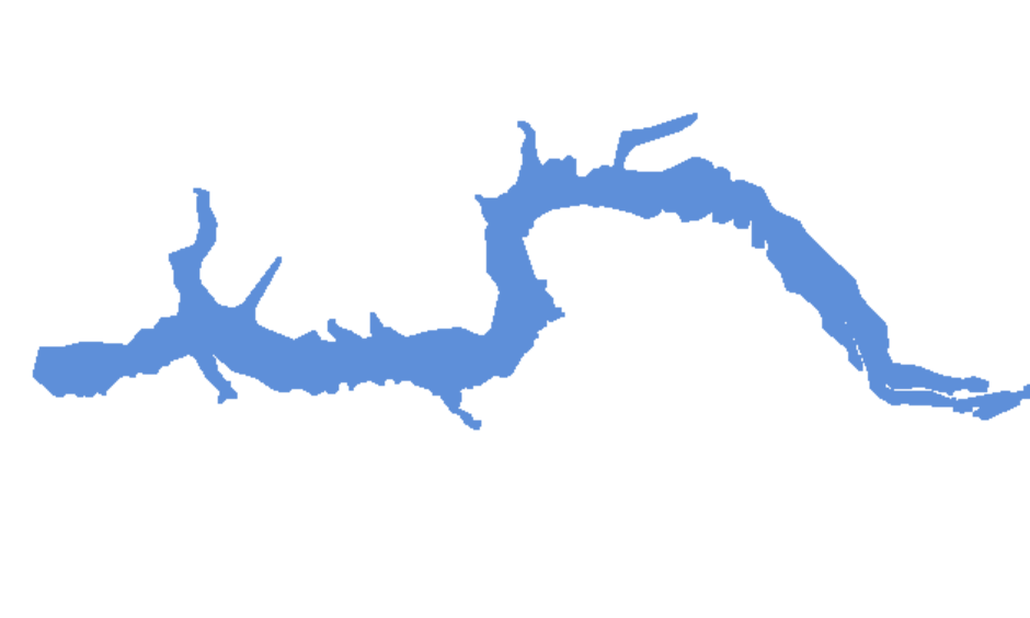
| Surface area at normal condition (km2) | 30.85 |
| Downstream water level(maximum) (m) | 337.9 |
| Downstream water level(normal) (m) | 334.20 |
| Downstream water level(minimum) (m) | 333.20 |
| Height of the spillway outlet (m) | 29 |
| Height of the main dam (m) | |
| Length of the main dam(m) | |
| Vaciemiento máximo / Capacidad de descarge del vertedor (m3/s) | |
| Tipo | |
| Número de Compuertas Total | 4 |
| superfície | |
| Base | |
| Largo (m) | 15.00 |
| Altura (m) | |
| Cota del tipo de ogiva | |
| Longitud de la cresta (m) | 70.50 |
| Número de unidades instaladas | |
| Potencial nominal (MW) | |
| Tipo | |
| Ancho Total (m) | |
| Largo Total (m) | |
| Desnível (m) | |
| Referencia | |
| Otro información |