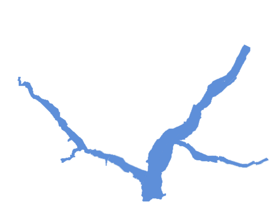
Global Lakes & Reservoirs Repository - GLR

| State | Castiho-SP/ Três Lagoas-MS |
|---|---|
| River name | Paraná |
| sub-basin name | |
| Company name | CESP |
| Latitude | 20°46'43"S |
| Longitude | 51°37'34"W |
| Construction Period | 1960-1968 |
| Total installed power(MW) | 1551 |
| Destination of Energy | SP |
| Historical Maximum discharge(m3/s) | 28943(10/02/83) |
| Mean discharge (m3/s) | |
| Historical minimum discharge (m3/s) | 6289 |
| Basin area (km2) | 470 |
| maximum operational water level (m) | |
| extreme maximum water level (m) | |
| operational water level (m) | 280 |
| minimum operational water level (m) | |
| Total volume (m3) | 3680000000 |
| Net volume (m3) | |
| Length (km) | |
| Surface area at normal condition (km2) | 330 |
| Downstream water level(maximum) (m) | 270 |
| Downstream water level(normal) (m) | 257 |
| Downstream water level(minimum) (m) | 254.6 |
| Height of the spillway outlet (m) | |
| Height of the main dam (m) | 43 |
| Length of the main dam(m) | 5495 |
| Vaciemiento máximo / Capacidad de descarge del vertedor (m3/s) | |
| Tipo | |
| Número de Compuertas Total | |
| superfície | |
| Base | |
| Largo (m) | |
| Altura (m) | |
| Cota del tipo de ogiva | |
| Longitud de la cresta (m) | |
| Número de unidades instaladas | 14 |
| Potencial nominal (MW) | 101 |
| Tipo | Kaplan |
| Ancho Total (m) | |
| Largo Total (m) | |
| Desnível (m) | |
| Referencia | www.cesp.com.br |
| Otro información |